|
KCSE Geography Paper 2 1996 Section B Question 4. a) Explain what is meant by overpopulation? (2mks)It is suited where the number of people living in a country or region exceed the available resources. b) How does Kenya’s population differ from that of Sweden? (4mks)
0 Comments
a) Draw a sketch map of Ghana (1mk)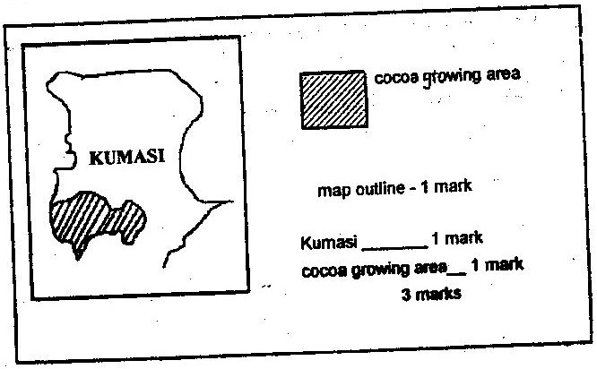 On the sketch map,
KCSE Geography Paper 2 1996 Section B Question 2. a) State four factors that led to the development of Kisumu town (4 mks)
 KCSE Geography Paper 2 1996 Section B Question 1. The table below shows the number of passengers that used railway transport in the selected countries in 1966 and 1977. Use it to answer question (a) and (b) a) Give two reasons why hardwood tree species in Kenya are in danger of extinction (2mks)
 b) State two ways in which softwood forest in Kenya differ from those of Canada. (2mks)KCSE Geography Paper 2 1996 Section A Question 4. a) Name two towns in Zambia, located within the copper mining region (2mks)
 Ndola, Zambia b) State three ways through which Zambia has benefited from the exploitation of copper deposits in the country.KCSE Geography Paper 2 1996 Section A Question 3. Use the map of Kenya below to answer question (a)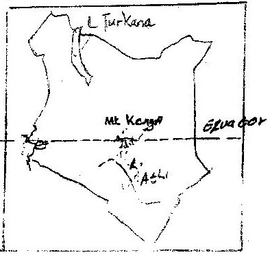 a) Name
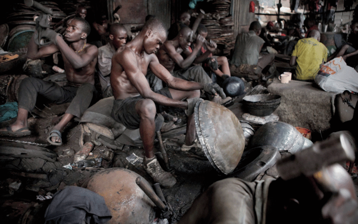
b) Apart from establishing national parks and gave reserves, state three other ways through which the government of Kenya conserves wildlife. (3mks)Give five reasons why the government of Kenya encourages the establishment of jua kali industries.17/1/2021 KCSE Geography Paper 2 1996 Section A Question 1. 2. Give five reasons why the government of Kenya encourages the establishment of jua kali industries. (5mks)
 KCSE Geography Paper 2 1996 Section A Question 1. a) Name two horticultural crops grown in Kenya (2mks)
 b) State three reasons why horticulture is more developed in the Netherlands than in Kenya. (3mks)KCSE Geography Past Paper 1996 Paper 1 Qn 4.i) Four characteristics of desert soil

Sand Dune
ii) Two factors that contribute to soil leaching (2mks)
KCSE Geography Past Paper 1996 Paper 1 Qn3.a) List four processes through which costs are eroded (4mks)
b) Using well-labeled diagram, explain how each of the following features is used formed.
i) Formation of a spit.

Geography Paper 1 1996 Qn 2
Expected ResponseStudy the map of Ithanga(1:50,000 sheet 135/4) provided and answer the following questions.14/1/2021
Study the map of Ithanga(1:50,000 sheet 135/4 ) provided and answer the following questions.
Expected Responsea) Give three examples of mechanically formed sedimentary rocks (3mks)Three examples of mechanically formed sedimentary rocks:
 b) State two changes that occur in sedimentary rocks when they are subjected to intense heat and pressure.(2mks)Changes that occur in sedimentary rocks when they are subjected to intense heat and pressure.
a) If the local time in Nairobi at longitude 370 E is 10.00 a.m .What will the time be at /Buchanan in Liberia at longitude 100W If the local time in Nairobi at longitude 370 E is 10.00a.m.10 = 4 Mins 470 x 4 = 188 mins = 3hrs 8 mins Buchanani is 3 hrs. 8 mins behind Nairobi its time will be 6.52 am (2mks) 
b) What is the effect of the international date line on time?(2mks)
On crossing this longitude while going to west, a day is lost while a day is gained while crossing to the East. (2mks)
a) What is isobar? (1mk)
 b) List four characteristics of modified Equatorial Climate (such as experienced in the lake Victoria Basin. (4mks)
The block diagram below represent part of earth’s crust which has been subjected to tensional forces.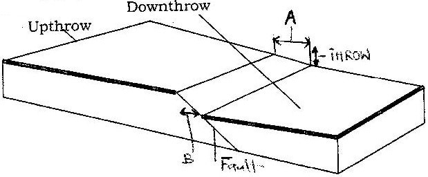
a) Name (i) the slope marked A (1mk)
a)
b) State three ways in which faulting can influence drainage systems.(3mk)
State four ways in which volcanicity has influenced human activities in Kenya. (4mks)Four ways in which volcanicity has influenced human activities in Kenya

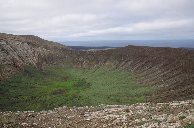
List two features resulting from extrusive volcanic activity.(2mks)
Two features resulting from extrusive volcanic activity
|

Archives
March 2024
Categories
All
|
 RSS Feed